 vesseltracker.com
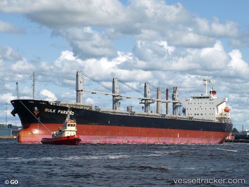
Vessel G FORCE IMO: 9405497, MMSI: 636024607 Bulk Carrier
UTC, 29.61961, 48.74189, course: -1, speed: 0
UTC, 29.61919, 48.74177, course: 108, speed: 0
2026-03-06 21:47:21 UTC, 29.61683, 48.74237, course: -1, speed: 0.1
Live Vessel G FORCE Analytics (details, animations, etc.)
Live AIS position: UTC. Near Basrah Oil Terminal), updated 2026-03-06 21:47:21 UTC.Find the position of the vessel G FORCE on the map. The latter are known coordinates and path.
marine traffic ship tracker show on live map
The current position of vessel G FORCE is 29.61683 lat / 48.74237 lng. Updated: 2026-03-06 21:47:21 UTCCurrently sailing under the flag of Liberia
Details:
Last coordinates of the vessel:
UTC, 29.61688, 48.74319, course: -1, speed: 0.2UTC, 29.61961, 48.74189, course: -1, speed: 0
UTC, 29.61919, 48.74177, course: 108, speed: 0
2026-03-06 21:47:21 UTC, 29.61683, 48.74237, course: -1, speed: 0.1